
Introduction
The Punahoa Heritage Forest has been created and developed by the Pūʻā Foundation, with the Hawaii Conference Foundation of the United Church of Christ Board of Trustees. The 2,900+ acre property forms an elongated shape with an east-west orientation. It is located west of the Daniel K Inouye Highway on Hawaiʻi Island, just a 20-minute drive from Hilo.
Securing the land. This is the first phase of the Punahoa Heritage Forest, a place-based initiative being led by the Pūʻā Foundation.
Pūʻā Foundation: 1,300 acres
Pūʻā Foundation has direct stewardship over 1,300 acres of natively forested land with water features. Daniel K Inouye Highway divides the land. The ~1,300 acres are on both sides of the highway establishes the Punahoa Heritage Forest - 1,050 aces on the west, and 250 on the east.
Hawai‘i Conference Foundation - UCC: 1600+ acres
As neighboring land stewards, the Hawai‘i Conference Foundation - United Church of Christ has over ~1600 acres adjacent to Pūʻā Foundation land a portion is under a conservation easement with The Nature Conservancy. They have committed this to expanding the Punahoa Heritage Forest.
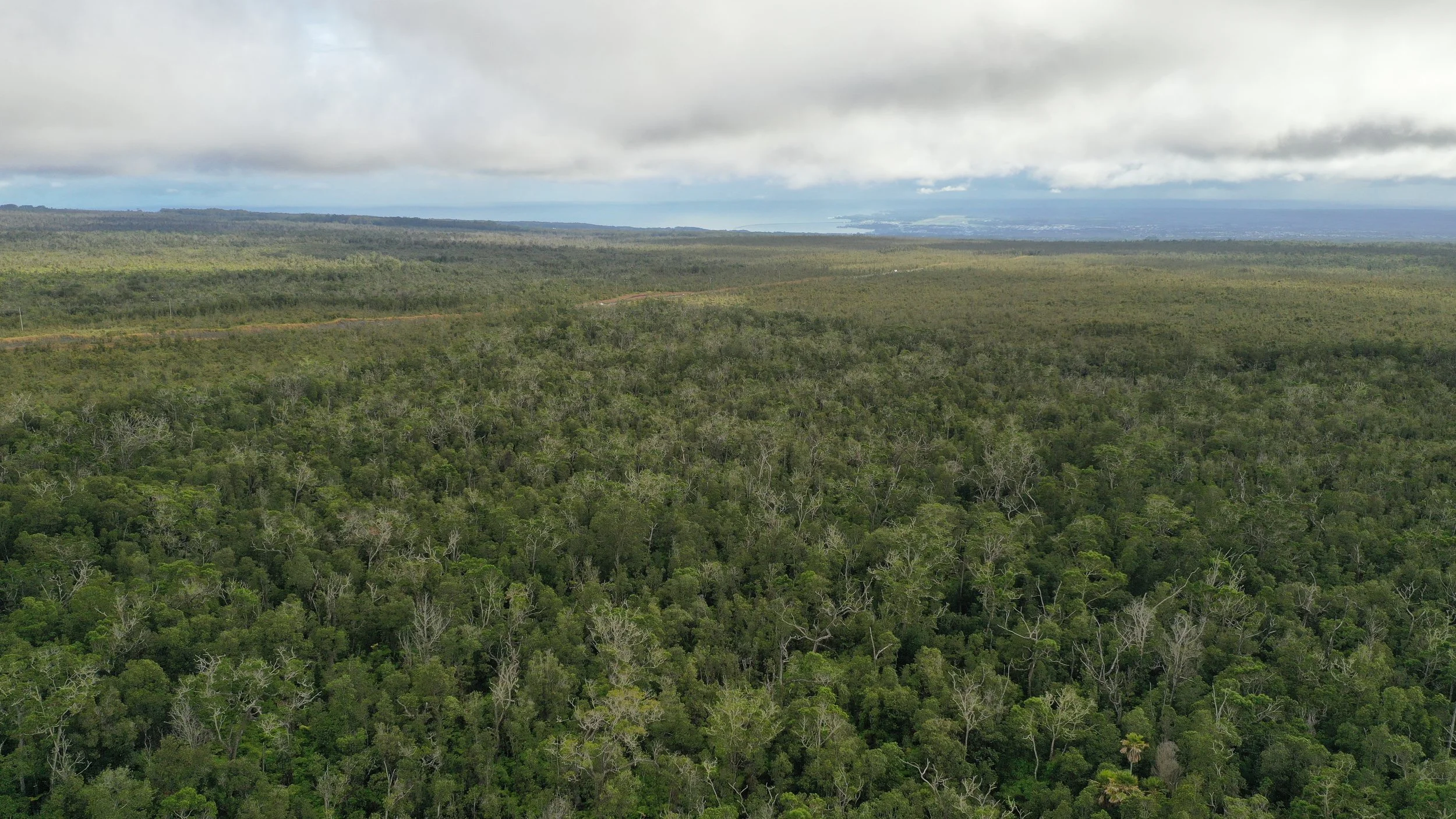
Taking Measure
The land is highest in the west, at 3,400 feet. A nature preserve lies beyond the western boundary. The great volcanoes of Maunakea and Mauna Loa dominate the landscape to the north and south. Heading east from the highest point, the land slopes downwards towards Hilo Bay. The east-west traverse is about four miles long while the north-south traverse is about 1 mile wide. The lowest elevation is 2,200 feet at the point where the land crosses Daniel K Inouye Highway (commonly known as “Saddle Road”), marking the eastern boundary to the forest.
Within Reach
The recently upgraded Daniel K Inouye Highway is the fastest route across Hawai’i Island, connecting the two towns of Hilo and Kona. Leaving Hilo by car, the Punahoa Heritage Forest can be reached within a 20-min drive.
NOTE
Land access is currently restricted. Foot traffic presents an unacceptably high risk of spreading the fungus that sickens ‘Ōhi‘a trees. Phase 1 of the Punahoa Heritage Forest plan is to preserve and protect the forest.

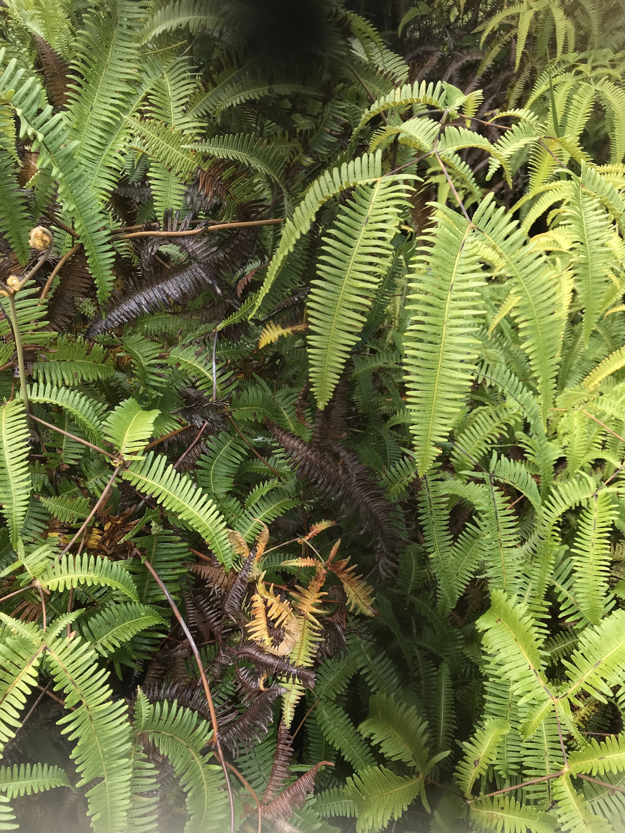
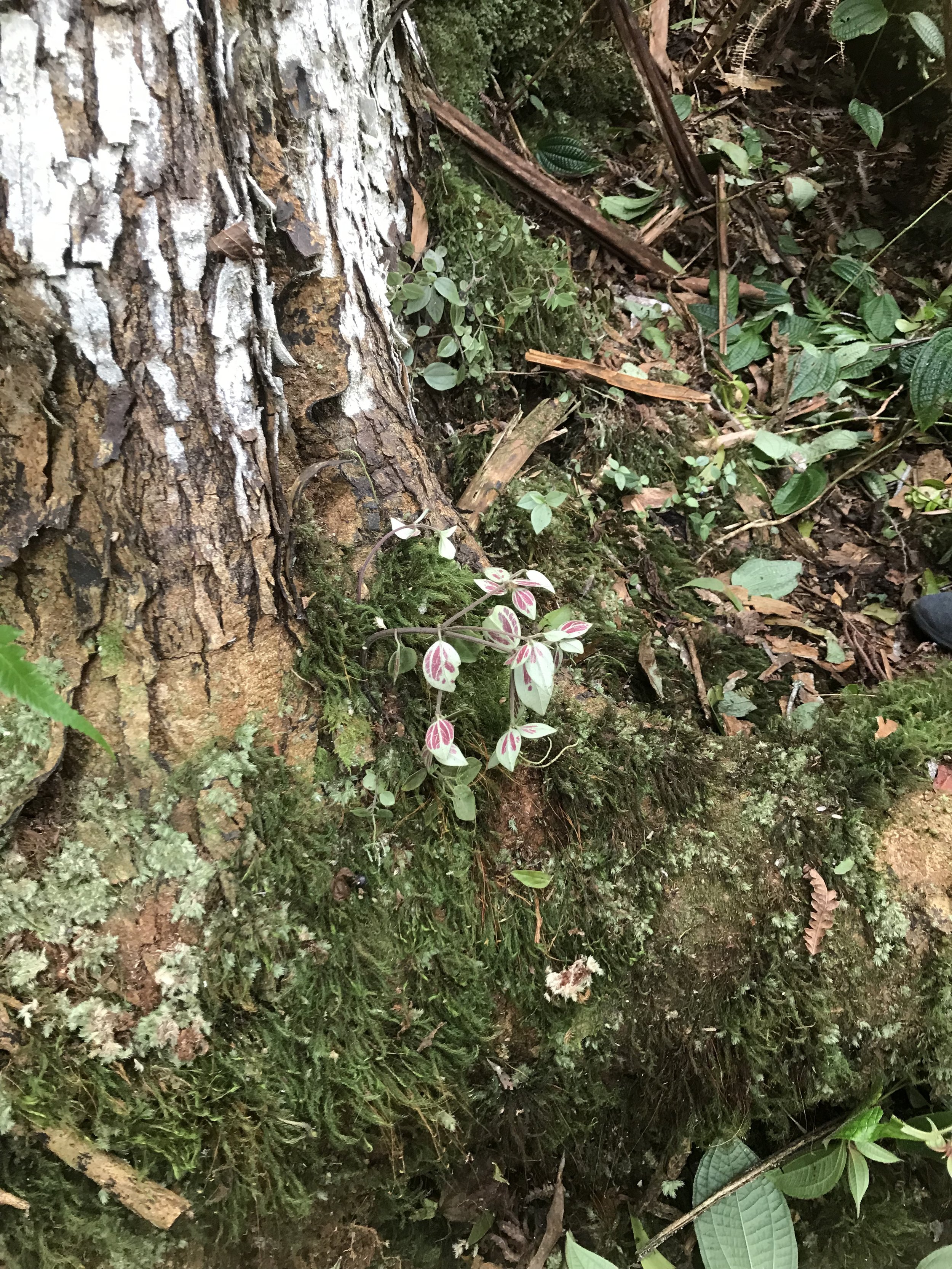
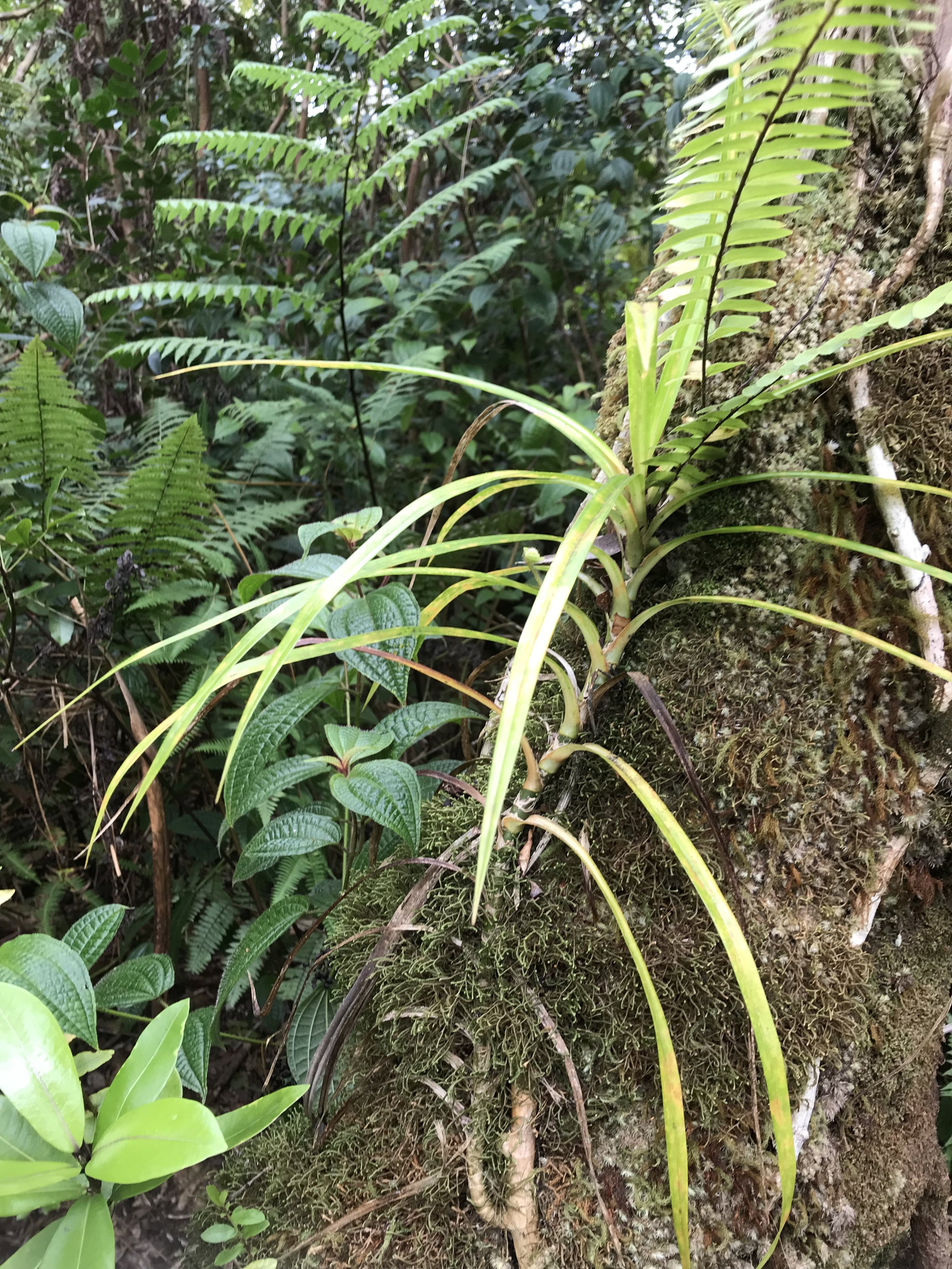
Beauty inside the Kīpuka
These photos are from 2022. Credit to Toni Bissen.
THUMBNAIL Gallery
FULL-SIZE Pictures


Land Survey
As part of responsible forest management, we conducted a land survey to get a baseline of the current flora and fauna. The survey findings has helped set the parameters for how best to protect and preserve the land as part of Phase 1 of our strategic plan.
